• Skip to main content
  • Skip to secondary menu
  • Skip to primary sidebar
  • Skip to secondary sidebar
  • Skip to footer
  • DroneRacingLife
  • DroneFlyers
  • Newsletter
DroneLife

DRONELIFE

Stay up to date on all the latest Drone News

  • News
  • Products
  • Industries
    • Agriculture
    • Construction
    • Delivery
    • Dual Use
    • Inspection
    • Public Safety
    • Surveying
  • Enthusiasts
  • Regulations
  • Business
  • Video
  • Podcasts

North Carolina Drone Photographer Seeks Supreme Court Support for First Amendment Rights

September 10, 2024 by Miriam McNabb Leave a Comment

first amendment drone mapping
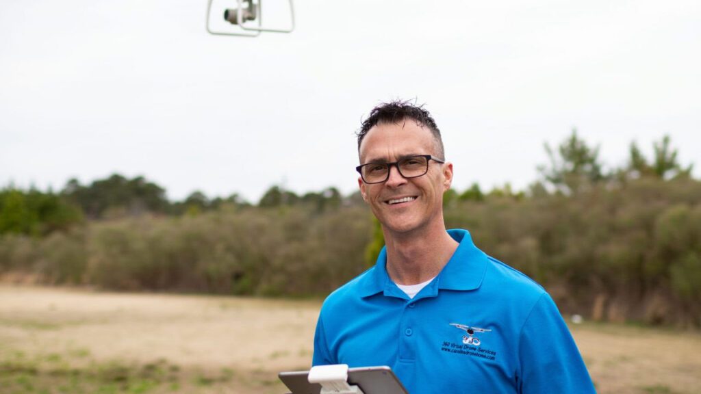
Michael Jones asks the court to uphold his right to provide aerial information to clients.

Yesterday, the Institute for Justice (IJ) filed a petition with the United States Supreme Court on behalf of Michael Jones, a drone photographer in North Carolina. The case brings forward an important question: does providing data and information through aerial photographs qualify as speech that the First Amendment fully protects, or do state licensing boards have the authority to censor it?

For several years, North Carolina’s land-surveying board has targeted small drone operators, including Michael Jones, claiming that their aerial maps amount to illegal land surveying. Unlike many states, North Carolina classifies even basic aerial mapping as surveying. This requires operators to hold a full surveyor’s license, which demands years of education and experience. The state has enforced this law rigorously, threatening drone businesses with severe penalties.

Jones’ Legal Battle

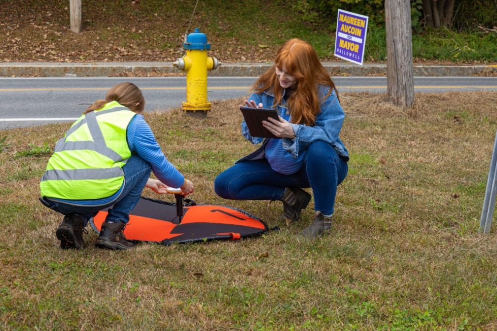
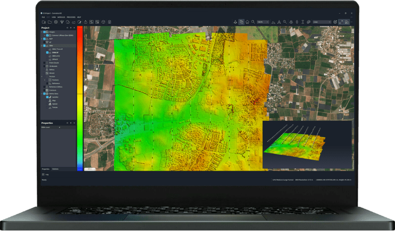
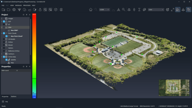
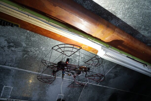
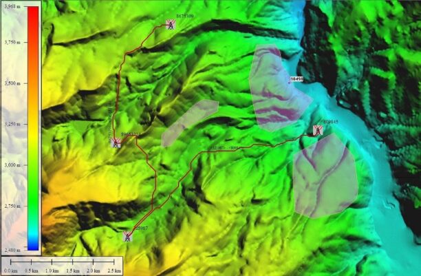
Michael Jones, based in Goldsboro, North Carolina, is an FAA-licensed drone operator who sought to build an aerial-mapping business. His goal was to provide landowners with aerial perspectives, which they often find useful without needing a full land survey. He wanted to use his drone to capture images and create maps or 3D models using publicly available tools.

However, in 2019, the North Carolina surveying board issued a cease-and-desist letter. The board ordered Michael to shut down his operations or face civil and criminal penalties. In response, Michael sued the board, arguing that his maps and photographs are forms of speech protected by the First Amendment.

“I’ve always been clear what I’m doing isn’t setting property lines. It’s simply providing pictures and information,” said Michael. “I even included a big red disclaimer on my website saying I’m not a licensed surveyor, but the board shut me down anyway. I don’t know of any surveying company that was using drones like I was.”

The Fourth Circuit Court Decision

In May, the Fourth U.S. Circuit Court of Appeals rejected Michael’s case. Although visual information and images have long received First Amendment protection, the court ruled that Michael’s creation of maps was “conduct” and not speech. The court’s reasoning was partly based on the fact that Michael’s work takes place on private property, which it claimed gives the government more leeway to regulate.

IJ Senior Attorney Sam Gedge criticized the ruling, stating, “Drone technology may be new, but the principles at stake in Michael’s case are as old as the nation itself. Taking photos and providing information to willing clients is speech, and it’s fully protected by the First Amendment. Only by badly misapplying the First Amendment could the Fourth Circuit hold differently.”

The Fourth Circuit’s ruling conflicts with decisions made in other federal courts. The Fifth Circuit, covering Texas, Mississippi, and Louisiana, and the Eleventh Circuit, covering Florida, Alabama, and Georgia, have issued rulings that favor the protection of such activities under the First Amendment.

A Call for Supreme Court Intervention

With the split between the circuits, Michael is now asking the Supreme Court to take up his case. His petition argues that if the government can stop someone from communicating aerial photographs simply because they contain specific information, First Amendment rights are at risk. “When a government agency sends a cease-and-desist letter telling you to stop communicating photographs containing specific types of ‘data’ and ‘information,’ that’s a red flag that serious First Amendment interests are in play,” said IJ Attorney James Knight.

This is not the first time the Institute for Justice has faced such a challenge. IJ has successfully defended similar cases, including a mapping company in Mississippi that faced similar accusations of unlicensed practice. Michael’s case joins others, including a map maker in California.

The Supreme Court’s decision on whether to hear Michael’s case could have far-reaching implications for First Amendment rights, particularly in an era when technology like drones is rapidly evolving. The outcome may determine whether state licensing boards can regulate new technologies in ways that limit both entrepreneurship and free speech.

Read more:

  • North Carolina Drone Operator to Seek Further Review in First Amendment Lawsuit
  • Is Drone Mapping a First Amendment Right? This NC Lawsuit Has Major Implications for the Commercial Drone Industry
  • Surveyors Wanted to Shut this Drone Photographer Down. Now, He’s Fighting Back. [VIDEO]
Miriam McNabb

Miriam McNabb is the Editor-in-Chief of DRONELIFE and CEO of JobForDrones, a professional drone services marketplace, and a fascinated observer of the emerging drone industry and the regulatory environment for drones. Miriam has penned over 3,000 articles focused on the commercial drone space and is an international speaker and recognized figure in the industry.  Miriam has a degree from the University of Chicago and over 20 years of experience in high tech sales and marketing for new technologies.
For drone industry consulting or writing, Email Miriam.

TWITTER:@spaldingbarker

Subscribe to DroneLife here.

Filed Under: Drone News, Drone News Feeds, Drones in the News, Featured - Surveying, News, Surveying Tagged With: aerial mapping, ChatGPT First Amendment drone mapping, Drone Photography, Drone Technology, FAA-licensed drone operator, free speech rights, Institute for Justice, land surveying regulations, North Carolina drone laws, Supreme Court case

Reader Interactions

Leave a Reply Cancel reply

Your email address will not be published. Required fields are marked *

Primary Sidebar

LATEST

FCC Proposes New Spectrum Rules to Advance Air Mobility Technologies

Updated Guidelines Aim to Enhance Safety, Innovation, and Growth in Crewed and Uncrewed Aviation The Federal Communications Commission (FCC) has…

Continue Reading FCC Proposes New Spectrum Rules to Advance Air Mobility Technologies

DJI Expands Beyond Drones with New Super-Fast Chargers for Power Storage Systems

Innovative car and solar chargers join the DJI Power Series, offering solutions for RVs, vehicles, and emergency backup systems. by…

Continue Reading DJI Expands Beyond Drones with New Super-Fast Chargers for Power Storage Systems

Windracers Introduces ULTRA MK2 Cargo UAV: More Power, Payload, and Efficiency

A New Chapter for Autonomous Middle-Mile Logistics Windracers has unveiled its latest self-flying cargo aircraft, the ULTRA MK2, at a…

Continue Reading Windracers Introduces ULTRA MK2 Cargo UAV: More Power, Payload, and Efficiency

Inside Ascent AeroSystems: A Revolutionary Approach to Drones

Coaxial Innovation from Massachusetts Massachusetts-based Ascent AeroSystems offers something unique in the crowded drone market. During a recent visit to…

Continue Reading Inside Ascent AeroSystems: A Revolutionary Approach to Drones

Hempstead Police Department Introduces Drone-As-First-Responder System from Flock Safety

New Technology Aims to Enhance Emergency Response Times The Hempstead Police Department announced plans to deploy a new Drone-as-First-Responder (DFR)…

Continue Reading Hempstead Police Department Introduces Drone-As-First-Responder System from Flock Safety

SkySwap Program: A New Path for Public Safety Drone Compliance

Axon Introduces Drone Swap Program to Help Agencies Transition to Secure, American-Made Drone Technology Public safety agencies in the U.S.…

Continue Reading SkySwap Program: A New Path for Public Safety Drone Compliance

Pioneering the Skies: UAE Approves First Commercial Vertiport for Air Taxis

Dubai’s DXV Facility Sets the Stage for Advanced Air Mobility with Skyports and GCAA’s Vision for Urban Transport Transformation by…

Continue Reading Pioneering the Skies: UAE Approves First Commercial Vertiport for Air Taxis

Drone Nerds Expands Support for American Farmers with ABZ Innovation Partnership

Collaboration Brings Advanced Agriculture Drones to U.S. Market Drone Nerds, a leading provider of enterprise and agricultural drones, has partnered…

Continue Reading Drone Nerds Expands Support for American Farmers with ABZ Innovation Partnership

Closing the Gaps: Why Low-Altitude Airspace Awareness Is Critical for the Future of Aviation

The recent New Jersey drone panic has made it clear: people want to know what’s flying in low altitude airspace.…

Continue Reading Closing the Gaps: Why Low-Altitude Airspace Awareness Is Critical for the Future of Aviation

Addressing Noise Concerns: A Key to Community Acceptance of Drone Delivery Technology

DEXA’s NEPA Testing Highlights Noise Mitigation and Environmental Responsibilit Noise is a major concern for consumers and a critical factor…

Continue Reading Addressing Noise Concerns: A Key to Community Acceptance of Drone Delivery Technology

Secondary Sidebar

Footer

SPONSORED

Inspired Flight Gremsy IF800 VIO F1 drones geo week

What Will It Take to Strengthen U.S. Drone Manufacturing? A Conversation with Inspired Flight’s CEO

Global Mapper Mobile data collection

Collection Ground Control Points with Global Mapper Mobile

Military Drone Mapping Solutions

How SimActive’s Correlator3D™ is Revolutionizing Military Mapping: An Exclusive Interview with CEO Philippe Simard

Photogrammetry Accuracy Standards

SimActive Photogrammetry Software: Enabling Users to Meet Accuracy Standards for Over 20 Years

NACT Engineering Parrot ANAFI tether indoor shot

Smart Tether for Parrot ANAFI USA from NACT Engineering

Blue Marble, features global mapper, features Blue Marble

Check Out These New Features in Global Mapper v25 from Blue Marble

About Us | Contact Us | Advertise With Us | Write for Us | Privacy Policy | Terms of Service

The Trusted Source for the Business of Drones.

This website uses cookies and third party services. By clicking OK, you are agreeing to our privacy policy. ACCEPT

Manage consent

Privacy Overview

This website uses cookies to improve your experience while you navigate through the website. Out of these, the cookies that are categorized as necessary are stored on your browser as they are essential for the working of basic functionalities of the website. We also use third-party cookies that help us analyze and understand how you use this website. These cookies will be stored in your browser only with your consent. You also have the option to opt-out of these cookies. But opting out of some of these cookies may affect your browsing experience.
Necessary
Always Enabled
Necessary cookies are absolutely essential for the website to function properly. These cookies ensure basic functionalities and security features of the website, anonymously.
CookieDurationDescription
cookielawinfo-checkbox-analytics11 monthsThis cookie is set by GDPR Cookie Consent plugin. The cookie is used to store the user consent for the cookies in the category "Analytics".
cookielawinfo-checkbox-functional11 monthsThe cookie is set by GDPR cookie consent to record the user consent for the cookies in the category "Functional".
cookielawinfo-checkbox-necessary11 monthsThis cookie is set by GDPR Cookie Consent plugin. The cookies is used to store the user consent for the cookies in the category "Necessary".
cookielawinfo-checkbox-others11 monthsThis cookie is set by GDPR Cookie Consent plugin. The cookie is used to store the user consent for the cookies in the category "Other.
cookielawinfo-checkbox-performance11 monthsThis cookie is set by GDPR Cookie Consent plugin. The cookie is used to store the user consent for the cookies in the category "Performance".
viewed_cookie_policy11 monthsThe cookie is set by the GDPR Cookie Consent plugin and is used to store whether or not user has consented to the use of cookies. It does not store any personal data.
Functional
Functional cookies help to perform certain functionalities like sharing the content of the website on social media platforms, collect feedbacks, and other third-party features.
Performance
Performance cookies are used to understand and analyze the key performance indexes of the website which helps in delivering a better user experience for the visitors.
Analytics
Analytical cookies are used to understand how visitors interact with the website. These cookies help provide information on metrics the number of visitors, bounce rate, traffic source, etc.
Advertisement
Advertisement cookies are used to provide visitors with relevant ads and marketing campaigns. These cookies track visitors across websites and collect information to provide customized ads.
Others
Other uncategorized cookies are those that are being analyzed and have not been classified into a category as yet.
SAVE & ACCEPT