• Skip to main content
  • Skip to secondary menu
  • Skip to primary sidebar
  • Skip to secondary sidebar
  • Skip to footer
  • DroneRacingLife
  • DroneFlyers
  • Newsletter
DroneLife

DRONELIFE

Stay up to date on all the latest Drone News

  • News
  • Products
  • Industries
    • Agriculture
    • Construction
    • Delivery
    • Dual Use
    • Inspection
    • Public Safety
    • Surveying
  • Enthusiasts
  • Regulations
  • Business
  • Video
  • Podcasts

SimActive Implements Enhanced Workflow for Phase One 280MP Aerial System

June 13, 2024 by Miriam McNabb Leave a Comment

SimActive Releases Updated Correlator3D™ for Seamless Integration with Phase One’s High-Resolution Aerial Imaging

Montreal, Canada, June 11th, 2024 – SimActive Inc., a prominent developer of photogrammetry software, has announced a new version of its Correlator3D™ software. This update introduces enhanced support for the Phase One 280MP Aerial System, streamlining the process for users.

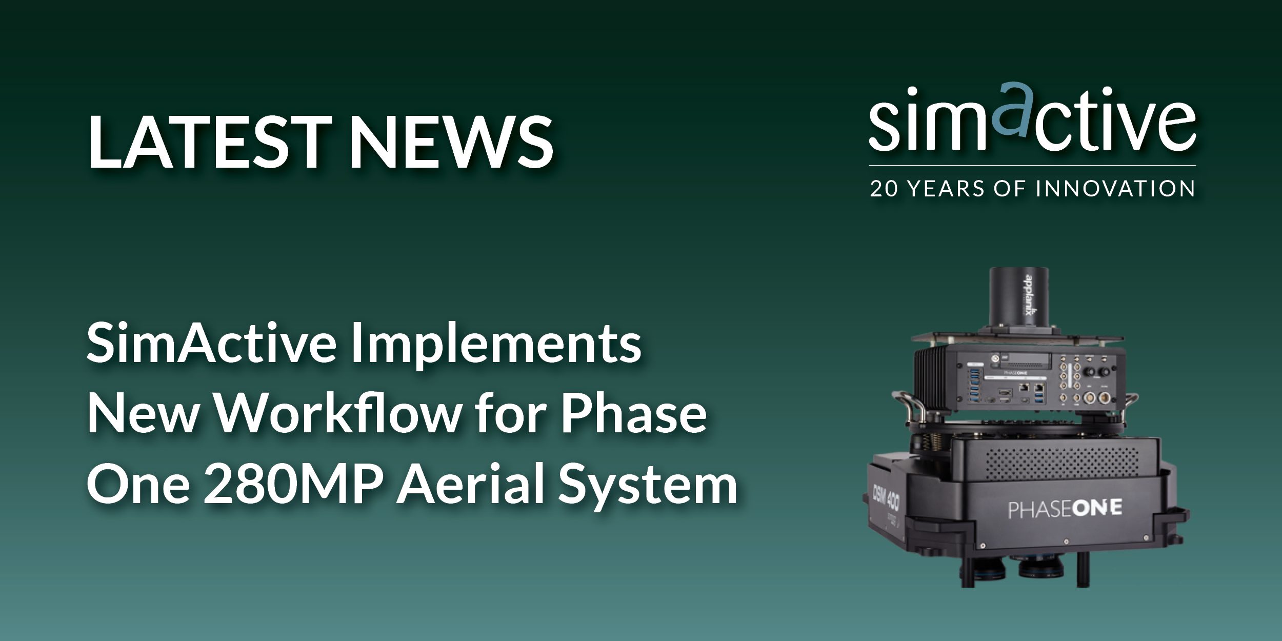
The latest version of Correlator3D™ allows for the seamless importation of data from the dual lens of the Phase One 280MP system, merging their respective fields-of-view efficiently. Importantly, the software processes imagery directly in Phase One’s native IIQ format, avoiding the need for intermediate file conversions. This direct handling of compressed files significantly simplifies data management, especially for extensive projects.

Louis Simard, Chief Technology Officer at SimActive, highlighted the significance of this development: “Just as we were the first to implement the processing of Phase One’s IIQ format, we are now the first to provide a complete workflow for the 280MP systems. Many of our aerial clients are moving towards larger format sensors such as those from Phase One, and Correlator3D can handle them all.”

SimActive is renowned for its Correlator3D™ software, a comprehensive photogrammetry solution designed to generate high-quality geospatial data from satellite and aerial imagery, including data from drones. Correlator3D™ excels in performing aerial triangulation (AT) and producing detailed digital surface models (DSM), digital terrain models (DTM), point clouds, orthomosaics, 3D models, and vectorized 3D features. Leveraging GPU technology and multi-core CPUs, Correlator3D™ ensures rapid processing speeds, supporting the swift production of large datasets. SimActive serves leading mapping firms and government organizations worldwide, offering advanced photogrammetry software supported by exceptional customer service.

Phase One, a global leader in digital imaging technology, provides unmatched imaging quality for various applications, ranging from professional photography to aerial mapping and industrial inspections. Phase One has been at the forefront of imaging technology, developing digital cameras and imaging modules that set new standards in resolution, dynamic range, color fidelity, and geometric accuracy for more than 30 years Phase One is headquartered in Copenhagen, Denmark, with regional offices worldwide.

For more information, visit SimActive and Phase One.

Read more:

  • SimActive Enhances Correlator3D with Multi-Camera System Compatibility
  • SimActive Photogrammetry Software: Enabling Users to Meet Accuracy Standards for Over 20 Years
  • Enhancing Photogrammetry Accuracy with Advanced GCPs Integration by SimActive and CompassData
  • Revolutionizing 3D Mapping: SimActive’s Integration with Multi-Camera Drone Payloads
Miriam McNabb

Miriam McNabb is the Editor-in-Chief of DRONELIFE and CEO of JobForDrones, a professional drone services marketplace, and a fascinated observer of the emerging drone industry and the regulatory environment for drones. Miriam has penned over 3,000 articles focused on the commercial drone space and is an international speaker and recognized figure in the industry.  Miriam has a degree from the University of Chicago and over 20 years of experience in high tech sales and marketing for new technologies.
For drone industry consulting or writing, Email Miriam.

TWITTER:@spaldingbarker

Subscribe to DroneLife here.

Filed Under: Drone News, Drone News Feeds, News Tagged With: aerial imaging software, aerial mapping technology, ChatGPT Phase One 280MP, Digital Terrain Models, dual lens aerial system, geospatial data processing, high-resolution imagery, photogrammetry solutions, photogrammetry workflow, SimActive Correlator3D

Reader Interactions

Leave a Reply Cancel reply

Your email address will not be published. Required fields are marked *

Primary Sidebar

LATEST

FCC Proposes New Spectrum Rules to Advance Air Mobility Technologies

Updated Guidelines Aim to Enhance Safety, Innovation, and Growth in Crewed and Uncrewed Aviation The Federal Communications Commission (FCC) has…

Continue Reading FCC Proposes New Spectrum Rules to Advance Air Mobility Technologies

DJI Expands Beyond Drones with New Super-Fast Chargers for Power Storage Systems

Innovative car and solar chargers join the DJI Power Series, offering solutions for RVs, vehicles, and emergency backup systems. by…

Continue Reading DJI Expands Beyond Drones with New Super-Fast Chargers for Power Storage Systems

Windracers Introduces ULTRA MK2 Cargo UAV: More Power, Payload, and Efficiency

A New Chapter for Autonomous Middle-Mile Logistics Windracers has unveiled its latest self-flying cargo aircraft, the ULTRA MK2, at a…

Continue Reading Windracers Introduces ULTRA MK2 Cargo UAV: More Power, Payload, and Efficiency

Inside Ascent AeroSystems: A Revolutionary Approach to Drones

Coaxial Innovation from Massachusetts Massachusetts-based Ascent AeroSystems offers something unique in the crowded drone market. During a recent visit to…

Continue Reading Inside Ascent AeroSystems: A Revolutionary Approach to Drones

Hempstead Police Department Introduces Drone-As-First-Responder System from Flock Safety

New Technology Aims to Enhance Emergency Response Times The Hempstead Police Department announced plans to deploy a new Drone-as-First-Responder (DFR)…

Continue Reading Hempstead Police Department Introduces Drone-As-First-Responder System from Flock Safety

SkySwap Program: A New Path for Public Safety Drone Compliance

Axon Introduces Drone Swap Program to Help Agencies Transition to Secure, American-Made Drone Technology Public safety agencies in the U.S.…

Continue Reading SkySwap Program: A New Path for Public Safety Drone Compliance

Pioneering the Skies: UAE Approves First Commercial Vertiport for Air Taxis

Dubai’s DXV Facility Sets the Stage for Advanced Air Mobility with Skyports and GCAA’s Vision for Urban Transport Transformation by…

Continue Reading Pioneering the Skies: UAE Approves First Commercial Vertiport for Air Taxis

Drone Nerds Expands Support for American Farmers with ABZ Innovation Partnership

Collaboration Brings Advanced Agriculture Drones to U.S. Market Drone Nerds, a leading provider of enterprise and agricultural drones, has partnered…

Continue Reading Drone Nerds Expands Support for American Farmers with ABZ Innovation Partnership

Closing the Gaps: Why Low-Altitude Airspace Awareness Is Critical for the Future of Aviation

The recent New Jersey drone panic has made it clear: people want to know what’s flying in low altitude airspace.…

Continue Reading Closing the Gaps: Why Low-Altitude Airspace Awareness Is Critical for the Future of Aviation

Addressing Noise Concerns: A Key to Community Acceptance of Drone Delivery Technology

DEXA’s NEPA Testing Highlights Noise Mitigation and Environmental Responsibilit Noise is a major concern for consumers and a critical factor…

Continue Reading Addressing Noise Concerns: A Key to Community Acceptance of Drone Delivery Technology

Secondary Sidebar

Footer

SPONSORED

Inspired Flight Gremsy IF800 VIO F1 drones geo week

What Will It Take to Strengthen U.S. Drone Manufacturing? A Conversation with Inspired Flight’s CEO

Global Mapper Mobile data collection

Collection Ground Control Points with Global Mapper Mobile

Military Drone Mapping Solutions

How SimActive’s Correlator3D™ is Revolutionizing Military Mapping: An Exclusive Interview with CEO Philippe Simard

Photogrammetry Accuracy Standards

SimActive Photogrammetry Software: Enabling Users to Meet Accuracy Standards for Over 20 Years

NACT Engineering Parrot ANAFI tether indoor shot

Smart Tether for Parrot ANAFI USA from NACT Engineering

Blue Marble, features global mapper, features Blue Marble

Check Out These New Features in Global Mapper v25 from Blue Marble

About Us | Contact Us | Advertise With Us | Write for Us | Privacy Policy | Terms of Service

The Trusted Source for the Business of Drones.

This website uses cookies and third party services. By clicking OK, you are agreeing to our privacy policy. ACCEPT

Manage consent

Privacy Overview

This website uses cookies to improve your experience while you navigate through the website. Out of these, the cookies that are categorized as necessary are stored on your browser as they are essential for the working of basic functionalities of the website. We also use third-party cookies that help us analyze and understand how you use this website. These cookies will be stored in your browser only with your consent. You also have the option to opt-out of these cookies. But opting out of some of these cookies may affect your browsing experience.
Necessary
Always Enabled
Necessary cookies are absolutely essential for the website to function properly. These cookies ensure basic functionalities and security features of the website, anonymously.
CookieDurationDescription
cookielawinfo-checkbox-analytics11 monthsThis cookie is set by GDPR Cookie Consent plugin. The cookie is used to store the user consent for the cookies in the category "Analytics".
cookielawinfo-checkbox-functional11 monthsThe cookie is set by GDPR cookie consent to record the user consent for the cookies in the category "Functional".
cookielawinfo-checkbox-necessary11 monthsThis cookie is set by GDPR Cookie Consent plugin. The cookies is used to store the user consent for the cookies in the category "Necessary".
cookielawinfo-checkbox-others11 monthsThis cookie is set by GDPR Cookie Consent plugin. The cookie is used to store the user consent for the cookies in the category "Other.
cookielawinfo-checkbox-performance11 monthsThis cookie is set by GDPR Cookie Consent plugin. The cookie is used to store the user consent for the cookies in the category "Performance".
viewed_cookie_policy11 monthsThe cookie is set by the GDPR Cookie Consent plugin and is used to store whether or not user has consented to the use of cookies. It does not store any personal data.
Functional
Functional cookies help to perform certain functionalities like sharing the content of the website on social media platforms, collect feedbacks, and other third-party features.
Performance
Performance cookies are used to understand and analyze the key performance indexes of the website which helps in delivering a better user experience for the visitors.
Analytics
Analytical cookies are used to understand how visitors interact with the website. These cookies help provide information on metrics the number of visitors, bounce rate, traffic source, etc.
Advertisement
Advertisement cookies are used to provide visitors with relevant ads and marketing campaigns. These cookies track visitors across websites and collect information to provide customized ads.
Others
Other uncategorized cookies are those that are being analyzed and have not been classified into a category as yet.
SAVE & ACCEPT